Thames Gateway (2000-ongoing)
Kent
Panoramic photographs (90 to 130 degrees angle of view) which explore the landscape of the area to the east of London known as the Thames Gateway and currently undergoing wholesale development – the largest such project in Europe.
Much of its former industry, mainly centred on the river and largely worked-out minerals, has disappeared and is being replaced by new housing, shopping centres and distribution industries based on its motorway links, the new Channel Tunnel rail link and the containerised docks.
The area is also at an increasing risk from flooding as sea levels rise and our climate becomes less predictable with global warming.
For convenience, this work is divided here into two sections, covering the north (Essex) and south (Kent) sides of the estuary.
These pages show the Kent side.
Peter Marshall:
Introduction
Meridian
DLR
Thames Gateway (Essex)
Thames Gateway (Kent)
Wider London
Next Page
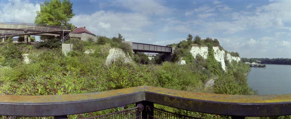
Swanscombe #1, 2000
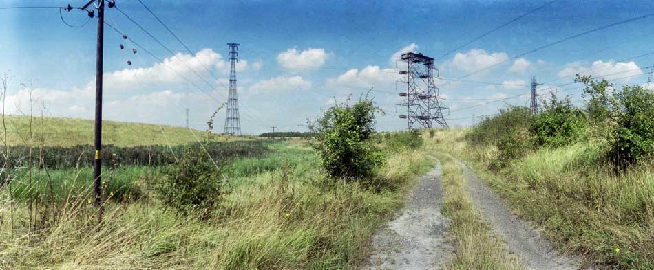
Swanscombe Marshes #2, 2000
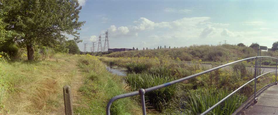
Swanscombe #2, 2000
Swanscombe #3, 2000
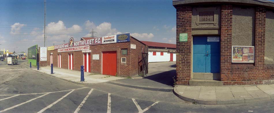
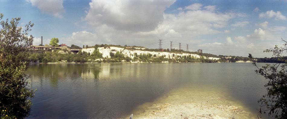
Northfleet #3, 2000